
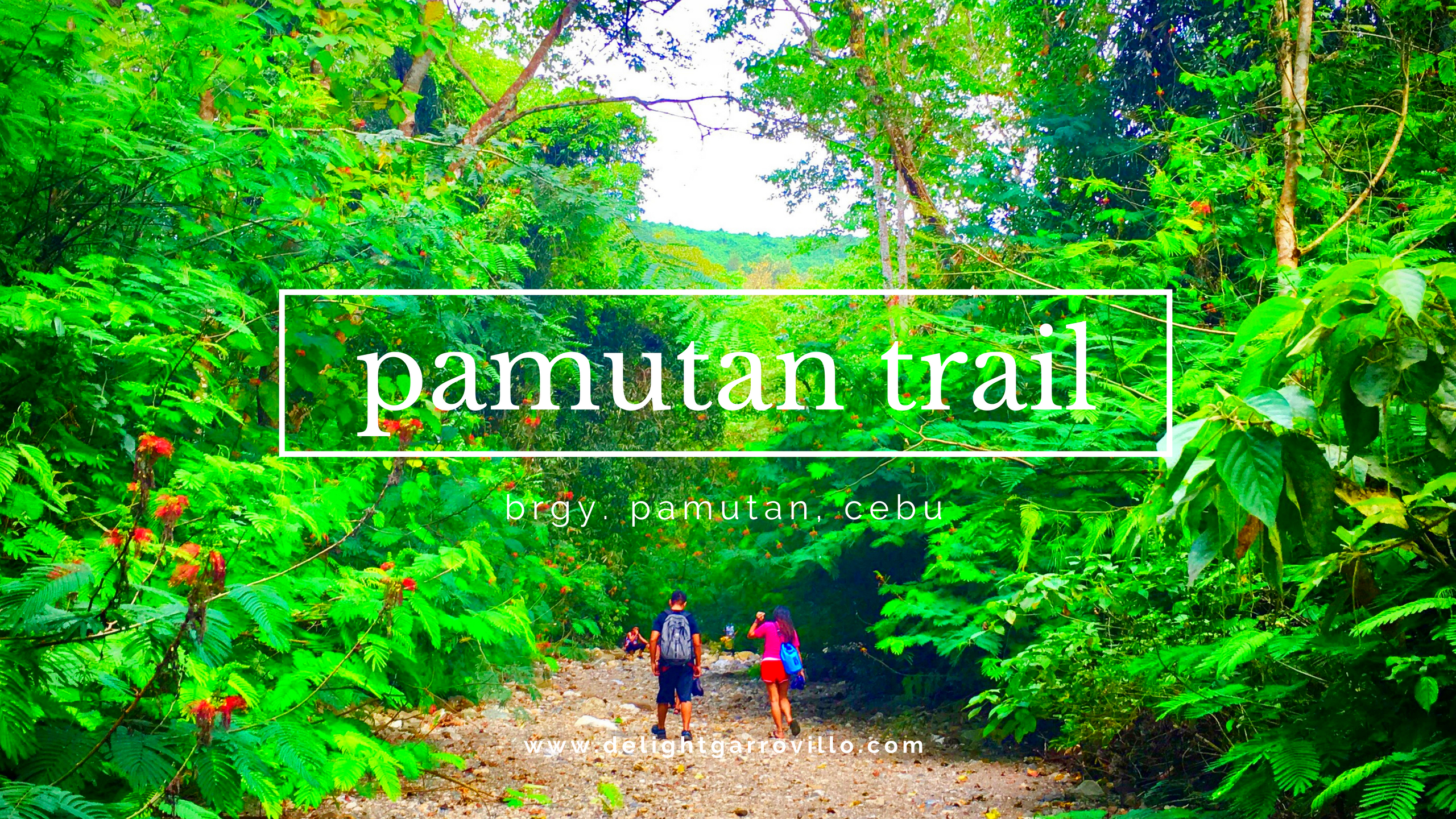
- Location: Banawa – Buhisan Watershed – Brgy. Pamutan
- Date of Hike: 08-OCTOBER-2017
I had 2 attempts of experiencing the Spartan Trail, where our first was a memorable one because we haven’t really passed to the real Spartan Trail, instead we went to a different way – and that will be in another story. Anyway, before this trail is just called Pamutan or Buhisan, but recently, everyone’s calling it Spartan. This is actually the most common trail to everyone for the preparation of the major climbs, it’s because it’s very near to the city, no fees and very convenient to everyone. It’s not easy but rest assured it’s not too difficult as well.
1st Leg – Rustan Banawa to Monterrazas de Cebu
We started our hike at Rustans, Banawa with 20 persons at 6:30 AM. Out first leg from Rustan to Good Shepherd Road and spent a little time for introduction- and this is where our jump off started. Going till the 13 station was pretty easy until we reached the last house going to Monterrazas’s plain. I know what will happen, so I go with the leads since I wanted to have a long rest. Since we started the trek at 6:30AM, it was already hot, until we reached the top of Monterraza’s. At the top of Monterrazas we have seen how lovely Cebu is.

The Usual: Briefing, getting to know each other & the prayer.

We are now confident that we can reach Brgy. Pamutan.

On a wider view—— we will be crossing those mountains.

This is still the easiest part.


The struggle was real until we reached Monterrazas.
2 Leg – Monterrazas de Cebu to Buhisan River
From Monterrazas going to the famous Mango tree (rest) to the water source (rest) to the river stream may take an hour, but since we were 20, it took almost an hour and a half. The descending trail to the river stream is muddy and has full of wild plants, so you have to be careful if you don’t have a pole, never touch the plants as it might hurt you. Upon arrival at the river bank, we turned left and after few meters, there’s another turn right going to the big stream.

The comfort is when we reached Monterrazas.

Why arm sleeves is a must.


Finally, the water source, we knew we were on the right track.
3 Leg – River Trek at Buhisan
Finally, we have been looking for the bigger stream since last week. From the moment, that we have reached the big stream, everyone was relieved (we lost once) as we are on the right track. Just a few moments that we arrived in the big stream, it flooded. We stayed in the bank for 10 minutes and we started the trek. Along our way, we have seen a group of kids with few adults together with their cooking tools and food. After 1.5 hours of river trek, we finally reached the falls. We took our lunch beside the falls and spent an hour. Jeffy took a dip and everyone just prepared for another trek.

HA HA- IDK what’s inside my bag… my following trek passing this trail, I just used my Jansport backpack.


Yay! Wa mi nawa!-

Where everyone took a break and had our lunch.
Since that falls blocked our way to Brgy. Pamutan, we needed to climb here:


And go down here:


It was just difficult because it was too muddy…
4 Leg – Assault to Brgy. Pamutan
We finally reached the spot in the river going to Brgy. Pamutan. It’s a small way and if you don’t know the place or you don’t have any guides, you might get lost. In the middle of the way, there’s a corner, turn left. Everything from the river was ascending. The most challenging part there is there was a part of the trail that it was muddy, and I just hate it because worms might get out any moment.


Maybe that 1.5L Gatorade & H2o are too overrated. 🙂

One last TakeFive and we can reach Bagsakan.
5 leg – Brgy. Pamutan to Tisa
When we arrived in Brgy. Pamutan, I never thought that our endpoint is just beside the road. Cool! If you will just look into it, you can never say that there’s more to that forest. We had a few meters to walk by to the stores and had our mini socials. We cleaned up ourselves in one of the stores while the others sang their hearts out for a safe and sound hike. Supposedly, our IT is pointing to Bocaue and RCPI, but everyone decided to just descend to Tisa-Guadalupe as everyone’s already tired.�Along the way from Pamutan, Jackie and I realized that we already walked a long way. I could say that my previous hikes helped me a lot to endure that kind of trail. It wasn’t that easy, but it wasn’t that too difficult too. There were no scenic views but surely I enjoyed the trail.

Bagsakan

Brgy. Pamutan

Along the way from Pamutan to Guadalupe. See that V face far from here— that was our starting point.

We should have exited Brgy. Napo or Temple of Leah.
My father still doesn’t approve this kind of activity as he thought that I couldn’t endure everything and he thinks that it will be difficult for me to do that. He just couldn’t imagine if what will I do if in case there will be flash floods and landslides in the mountain. I seriously do not know too, but I am gaining confidence along the way. I am learning and thanks to the mountains.
P.S. For the past months, people are skipping the 5th leg, instead the exits are Brgy. Napo or Temple of Leah, Busay.
Actual Itinerary & Expenses:
- 7:30 AM TD Good Shepherd
- 8:20 AM TA Monterrazas de Cebu
- 8:30 AM TD Monterrazas de Cebu – Buhisan River
- 9:40 AM -11:30 TA Buhisan River & Lunch
- 11:40 AM – Start Trek to Pamutan/Bagsakan
- 1:00 PM-1:30 PM – Bagsakan
- 1:30 PM – 2:00 PM Lunch
- 2:20 – 4:00 PM – Road trek to Brgy. Guadalupe
EXPENSES:
- Mandaue – Banawa = (taxi) 150
- Tisa – Guadalupe = P10
- Guadalupe – SM = P10
- SM – Mandaue = P7
Trip Notes:
- Bring at least 1-2L of water.
- Bring ion.
- Arm sleeves
- Prepare for the river crossing (it’s not that the water level is high, but to those who doesn’t want their shoes to get wet, you can opt to wear a different shoes/sandals).
- Water sources: Banawa, Going to Buhisan River & Brgy. Pamutan/Bagsakan (I am not sure if the river’s H2O is safe for drinking).
You may follow KATKAT DA LAAG or KALAG facebook page for their mountain stories and events.
Leave a Reply